This auction is live!
You need to be registered and approved to bid at this auction.
Watch the auction|
Auction currency
|
GBP |
|
Accepted cards
|
Confirming your bid is a legally binding obligation to purchase and pay for the lot should your bid be successful.
Confirming your bid is a legally binding obligation to purchase and pay for the lot should your bid be successful.
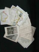
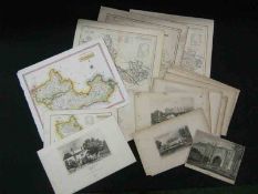
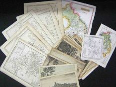
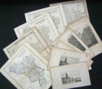
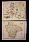
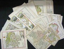
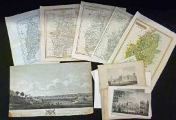
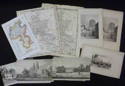
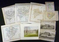
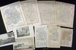
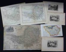
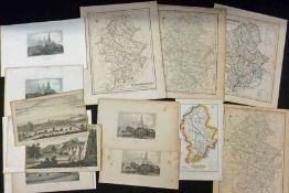
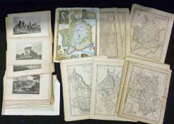
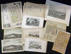
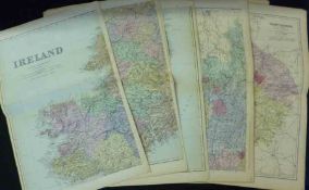
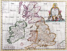
![J SPEEDE: CAERMARDEN …, engrd hand col’d map [1611], English text verso, approx 15” x 20”, f/g](https://portal-images.azureedge.net/auctions-2014/srkey10037/images/21fa72a1-b33b-48cc-91bd-a4310175bdde.jpg?h=175)

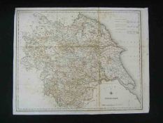
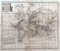
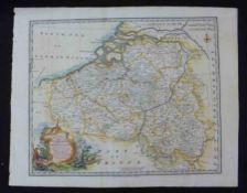
![J SPEEDE: A NEW MAP OF YE XVII PROVINCES OF LOW GERMANIE …, engrd hand col’d map [1676], English](https://portal-images.azureedge.net/auctions-2014/srkey10037/images/5a07175d-e793-43d8-b837-a4310175bf60.jpg?h=175)
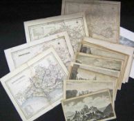
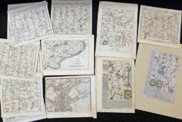
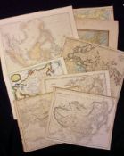
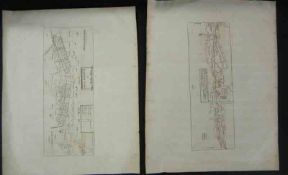
![J BILL: NORFOLKE, engrd map [1626], approx 3 ½” x 4 ½”](https://portal-images.azureedge.net/auctions-2014/srkey10037/images/c0bcbd90-66a4-45a6-810c-a4310175bfc1.jpg?h=175)
![J BILL: SUFFOLKE, engrd map [1626], approx 3 ½” x 4 ½”](https://portal-images.azureedge.net/auctions-2014/srkey10037/images/981ef576-5f9a-4016-8ddc-a4310175c026.jpg?h=175)
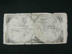
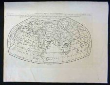
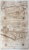
![MAGINI PORRO: PTOLEMAEI TYPUS, engrd map [1598]](https://portal-images.azureedge.net/auctions-2014/srkey10037/images/8797eed3-c2cb-4bbe-8877-a4310175c089.jpg?h=175)
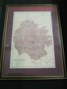
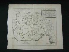
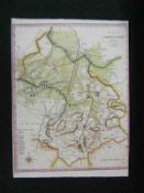
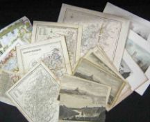
![SAXTON/KIP: NORFOLCIAE …, engrd map [1637], approx 10 ½” x 15”](https://portal-images.azureedge.net/auctions-2014/srkey10037/images/039694bf-660e-431f-af73-a4310175c263.jpg?h=175)
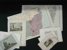
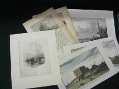
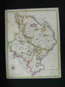
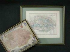
![R MORDEN: CAMBRIDGESHIRE, engrd col’d map [1695], approx 16” x 14”](https://portal-images.azureedge.net/auctions-2014/srkey10037/images/426fd7ef-a7c2-4e6f-bee9-a4310175c4af.jpg?h=175)