This auction is live!
You need to be registered and approved to bid at this auction.
Watch the auction
VAT is applicable on specified lots.
|
Auction currency
|
GBP |
|
Accepted cards
|
Confirming your bid is a legally binding obligation to purchase and pay for the lot should your bid be successful.
Confirming your bid is a legally binding obligation to purchase and pay for the lot should your bid be successful.

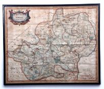
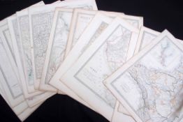
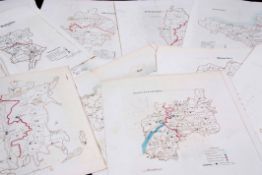
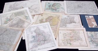
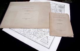
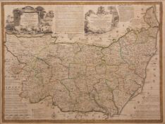
![ROBERT MORDEN: HERTFORDSHIRE, engraved part hand coloured map [1695], approx 360 x 450mm, framed and](https://portal-images.azureedge.net/auctions-2018/srkey10224/images/404bdbac-bbe4-4c8c-bf18-a9a80123faec.jpg?h=175)
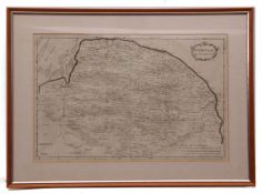
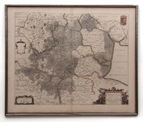
![JOAN BLAEU: NORTFOLCIA - NORFOLKE [NORFOLK], engraved hand coloured map, circa 1645 or later, approx](https://portal-images.azureedge.net/auctions-2018/srkey10224/images/b85112e2-210a-4aee-9e82-a9a801242da6.jpg?h=175)
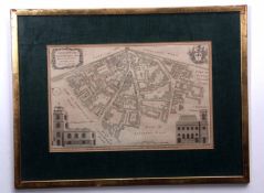
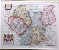
![SAXTON/KIP: SUFFOLCIAE COMITATUS [SUFFOLK], hand coloured engraved map, circa 1610, approx size](https://portal-images.azureedge.net/auctions-2018/srkey10224/images/deb25c83-6e90-4b26-9521-a9a8012439b2.jpg?h=175)